Against “flood dementia” Professor Kai Schröter is the new Head of the Department of Hydrology and River Basin Management at the LWI
Flood risks, flood forecasts and warnings are among the research topics of Professor Kai Schröter, the new head of the Department of Hydrology and River Basin Management at the Leichtweiß-Institute for Hydraulic Engineering and Water Resources (LWI). On 1 April he succeeded Professor Günter Meon, who retired. Far from the water, high up in his office on Beethovenstraße in Braunschweig, Bianca Loschinsky and Heiko Jacobs talked to him about warning apps, climate change and “flood dementia”.
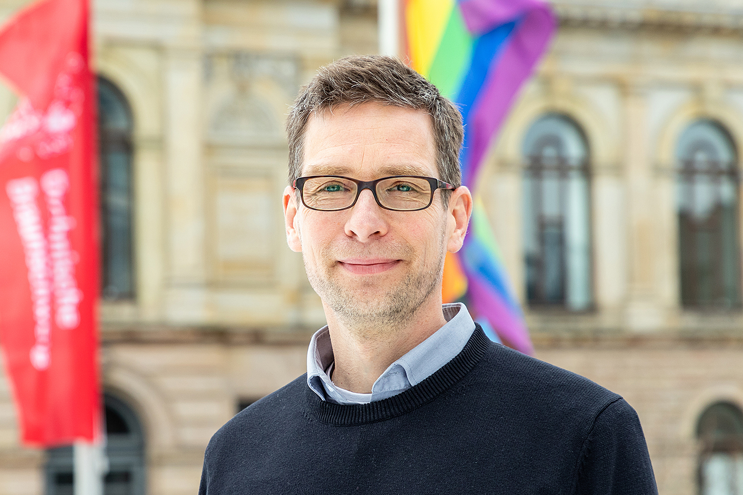
Professor Kai Schröter is the new head of the Department of Hydrology and River Basin Management at the LWI. Photo credit: Kristina Rottig/TU Braunschweig
Professor Schröter, thank you for making time immediately after taking up your new position. Have you been able to get settled in your new place?
As you can see, the shelves are still a little empty. With the start of the semester, there’s a lot going on here, of course. But I was lucky that there was a seamless transition in my department. My predecessor, Professor Günter Meon, was there until the end and gave me great support in the run-up and continues to be there with advice and support. Likewise, I get great support in the department from the team, who have welcomed me very kindly, as have the other departments of the LWI and the faculty management. So I feel very welcome here!
One of your main topics is flood risk management. Last year, the disaster in the Ahr valley brought this topic to everyone’s attention. There are several sides to such a disaster; besides the preventive measures and the immediate rescue measures, it was above all the warning system, the communication, that failed. Is communication management also one of your research areas?
Yes, the communication of risks is of course an important component of flood risk management. So is the translation of information so that people know exactly what to do. The disaster in the Ahr valley with its extremely high number of fatalities has once again made clear how important and central this is, especially in the case of very dynamic events.
Communication includes not only information, but also the exchange of data between the various actors involved. Here, data and information flows must be brought together and made accessible. We also deal with how to set up systems so that information does not fall by the wayside.
Now, a flood event per se is first and foremost an individual event. You are talking specifically about hydrological extremes in connection with the effects of climate change. How can we relate individual weather events to climate change? The intensity and frequency of individual events is undoubtedly increasing.
That is certainly a statement one can subscribe to. On the other hand, extreme weather events also occur without climate change because they are part of the natural variability in the water balance that we are looking at. But when the planet warms, which is now proven, you have a greater potential to store water in the atmosphere and therefore a greater potential for rain. At the same time, there is greater evaporation over the oceans. This in turn increases the possibility of such extreme precipitation occurring.
There are also indications that climate change will cause weather patterns to become more pronounced, resulting in precipitation events such as 2021 remaining in one place for longer. Conversely, prolonged weather patterns can also trigger droughts, as we have seen in previous years.
Investigations into the extent to which climate change influences the probability of such extreme events occurring and their intensity are known as the attribution of extreme events to climate change. On the basis of model simulations, this correlation can be calculated and evaluated. For the event on the Ahr, there is already a study that shows that such an event is significantly more likely due to climate change and that the intensity has increased.
Was the study done before or after the floods in the Ahr valley?
It was done shortly afterwards. Of course, this is also an important building block for communication. Because climate change is often not so tangible. It consists of gradual changes and processes. But if you can give the information that this disaster is concretely related to climate change – that is very helpful.
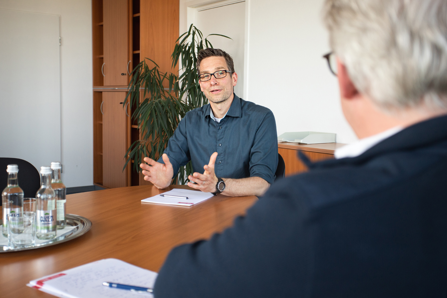
Prof. Kai Schröter’s main topics include flood risk management. Photo credit: Max Fuhrmann/TU Braunschweig
Classic information systems such as water level measurements failed in the Ahr valley: The water level station was simply washed away, which the crisis team only discovered after some delay. Are there innovative ways to close data gaps and secure measurement data even during the extreme event?
This is indeed a big problem, especially since there is a tendency to dismantle measuring stations anyway. Yet such observation data are extremely important for operational water management, in this case for disaster control, but of course also for us scientists. There are approaches to combine data and information from different sources in order to obtain a better overall picture. For example, from remote sensing, but also increasingly from social media.
There are also interesting developments in the field of low-cost sensors, whose cost-effective systems can be distributed over a larger area.
The last Nationwide Alert Day in 2021 was cancelled, and at the same time warning apps are playing a new role in providing decentralised information to the population. Do the disaster warning processes play a role in your work?
The information from the warning apps also comes centrally, for example via the Federal Office of Civil Protection and Disaster Assistance for the warning app NINA. Or also via the German Weather Service with the WarnWetter app. However, these always work together with the classic warning sirens or cell-based broadcasting. These are all important warning channels to reach people. However, it must be ensured that such warnings are translated into so-called “impact” warnings: Vulnerable people need to know where and when flooding is happening and how to respond.
At what point does information on what to do get verbalised for people in the affected areas?
This is also part of risk communication: to provide people with so-called behavioural precaution. In the times of the Cold War, for example, everyone knew what to do in the event of a nuclear threat. And this must also be made clear to people for events such as heavy rain or floods. And then those affected have to repeat and practise it. In Cologne, for example, there are regular flood protection exercises.
Flood warnings are the responsibility of the federal states, but disaster control on the ground is a municipal task. There can be a break in the information chain there. For example, the flood forecast centre says that the water level at the Müsch gauge will be five metres above mean water. Then the district administrator may not even be able to imagine what that means in concrete terms.
If we look again at the Ahr valley: Are you really optimistic that political changes are underway there?
Flood risk management and flood prevention in general is a permanent task. After the media attention, solutions are adopted, such as cell-based broadcasting, which is supposed to help improve warnings. Sirens are rebuilt. But over time, much is forgotten again. “Flood dementia” is the key word here. But this is quite normal in human terms: Problems that one is not directly confronted with become less important. That is why it is important to make it clear again and again through communication that the danger is still there and to also examine what such an extreme event would look like elsewhere.
Another issue is the availability of water as a resource. Here, in addition to climate change and the drinking water used for the general public, the use by companies also plays a role. What effects do you expect on agriculture on the one hand and biodiversity on the other?
As demand increases, so does the pressure on naturally available resources. The drought years 2017 and 2018 in particular have shown that there are limits to availability even in a water-rich country like Germany. Not only the quantity, but also the quality is of great importance for usability. Understanding these interrelationships and defining the safe room for manoeuvre for the future, which utilisation quantities may actually be allocated to a company, are major challenges for water management. Here, the interaction of surface water and groundwater in terms of quantity and quality is also increasingly important. This interaction in particular, how groundwater can also be increasingly used to store surface water in order to support the redistribution and management of resources, is definitely also part of our work.
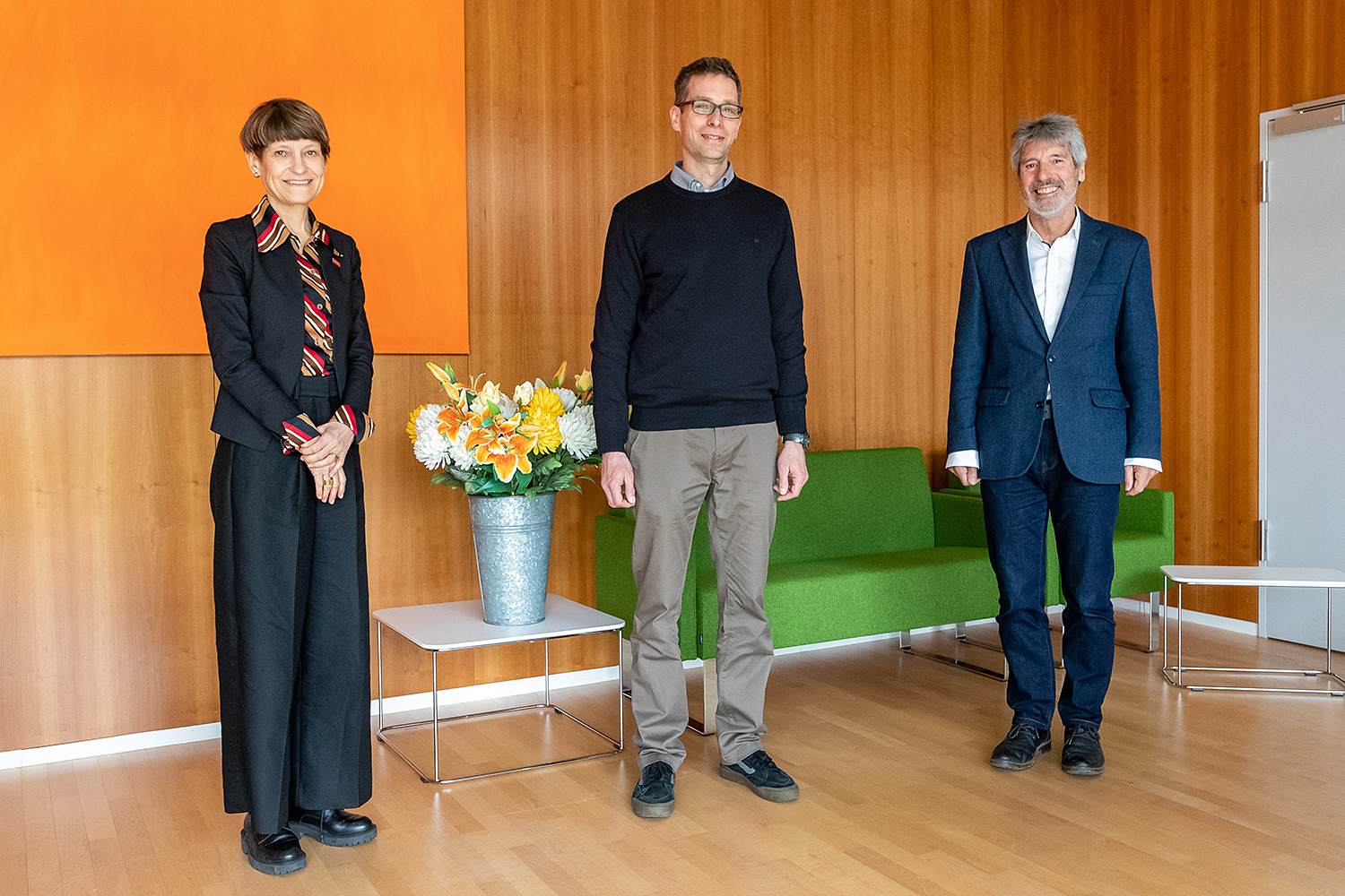
Appointment: TU President Professor Angela Ittel with Professor Kai Schröter and Professor Wolfgang Durner, Dean of Faculty 3. Photo credit: Kristina Rottig/TU Braunschweig
An outlook on the future of the Department of Hydrology and River Basin Management: What are your plans for your department at the LWI? What topics are you starting with?
It is a challenge that on the one hand we have to ensure the future availability of water in sufficient quantity and quality for sustainable development and that on the other hand we have to mitigate the risks towards hydrological extremes and the consequences of climate change. These two challenges shape my guiding principle for the research that I would like to advance here at TU Braunschweig: One is to expand knowledge about the complex interdependencies – feedback and use conflicts in hydrological human-environment systems – and to develop methods and tools for monitoring and modelling, but also for the integrated management of water management systems. I would like to implement this with three focal points:
One is system analyses, so creating a basis for the development of adaptable water management systems, so that one can react to future developments through flexible operational strategies. This requires integrated water management for multifunctional rural and urban landscapes. One contribution to this comes from system-oriented monitoring. The idea here is to specifically close data gaps – with new measurement methods or sensors or new data sources. I also want to improve the integration of data sources and the interoperability between data and models and users of these data. All of this then flows into integrated modelling, into a higher-level overall model concept. These models can help us to better map the systems and provide relevant and important information to better manage these systems. This is where machine learning, hybrid model approaches with classic physically-based models, but also the concept of digital twins, come into play. It remains to be seen in which projects this can be implemented in concrete terms.