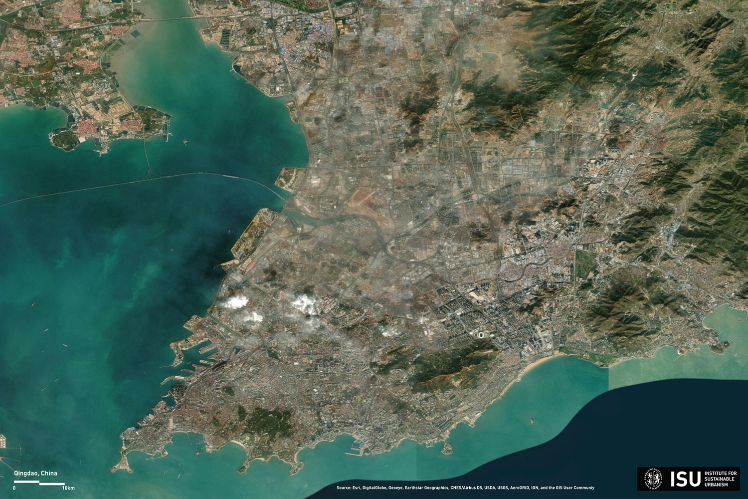
Satellite image of the Qingdao urban region in the eastern Chinese province of Shandong. Picture credits: ISU/TU Braunschweig, Source: Esri, DigitalGlobe, Geoeye, Earthstar Geographics, CNES/Airbus DS, USDA, USGS, AeroGRID, IGN, and the GIS User Community
This image is part of: Picture of the month: Deciphering urban regions. Please note the copyright of this image.