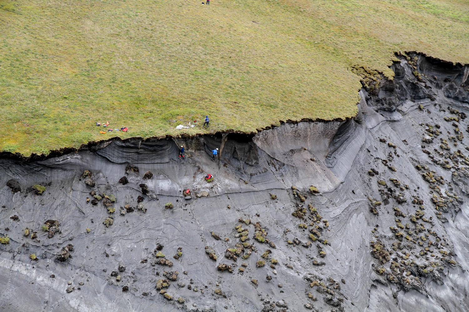
Wissenschaftler bei ihrer Forschungsarbeit an einer erodierenden Steilküste von Herschel Island,Kanada English: Scientists at their research work on an eroding cliff of Herschel Island, Canada The Alfred Wegener Institute Helmholtz Center for Polar and Marine Research (AWI) commenced research in the western Canadian Arctic with the funding of the young researcher project titled Coastal Permafrost Erosion (COPER) in 2012. The groupís focus lay on investigating the mass transfer of sediments and carbon across the whole coastal tract of , i.e. include both the emergent and submerged parts of the coast of Herschel Island, Beaufort Sea, Canada. Herschel Island (69.6∞N, 139∞W) is located in the Beaufort Sea, at the northernmost point of the Yukon Territory, and about 70 km east of the Alaskan border. The island is a push-moraine that formed during the westward advance of of the Laurentide Ice Sheet. The coast is characterized by high cliffs and numerous retrogressive thaw slumps, indicating the presence of large massive ice bodies susceptible to permafrost degradation. The tundra covered island is located where mean annual temperatures are well below 0∞C, and rise above freezing only between June and September. Cold temperatures affect coastal processes, as well. Wave- and tide induced processes are limited by the presence of sea ice and landfast ice. The presence of ice, however, introduces some physical processes unique to cold environments such as ice gouging, ice rafting, ice push-up, and ice pile-up. Ice gouging refers to the grounding of ice keels; ice rafting the transport of coarse sediment offshore incorporated into the ice matrix; while ice push-up and pile-up occur at the land-sea boundary, transporting sediments on- and across shore. Coastal erosion is limited to the period of open water. Average rates of erosion are 1-2 m/yr, and may reach 10-30 m/yr.
This image is part of: What are the dangers of contaminated industrial sites in permafrost?. Please note the copyright of this image.

