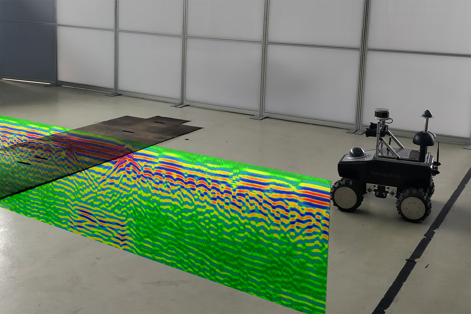
Mobile robots and other vehicles are expected to navigate using the radar data of the underground. The radar image, which was taken for this purpose by the radar sensor mounted on the robot when the map was created, is mounted in the ground. The radar image shows the structures hidden in the ground: Structural steel mesh, edges of the pit in the middle, bottom of the pit. These and similar structures are to be used as a basis for navigation. Picture credits: IMN/TU Braunschweig
This image is part of: Radar for Robots. Please note the copyright of this image.

